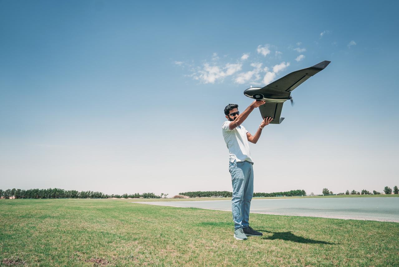
Explore our range of drone training courses, built by industry experts and designed around your goals. Whether you’re starting out, upskilling, or specialising, you’ll find exactly what you need to fly confidently.
Most Popular Courses
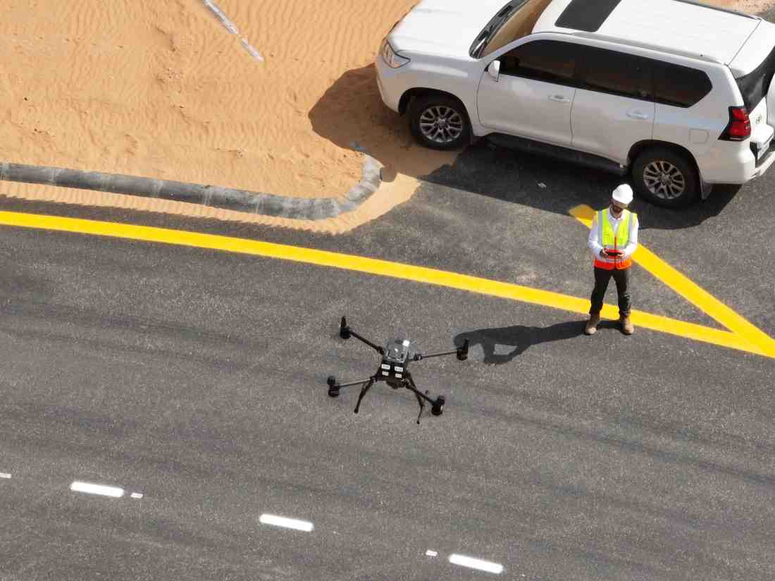
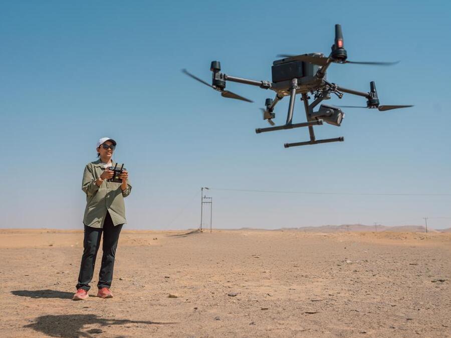
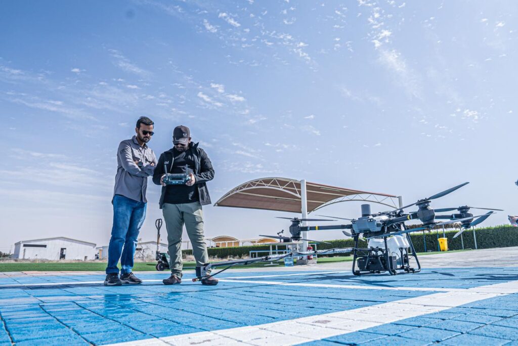
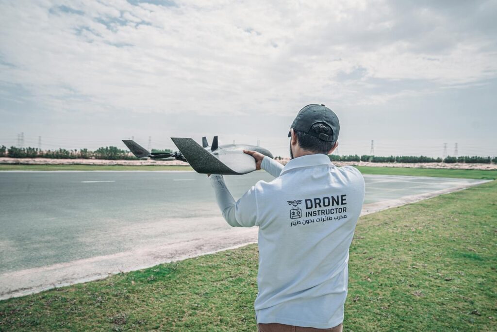
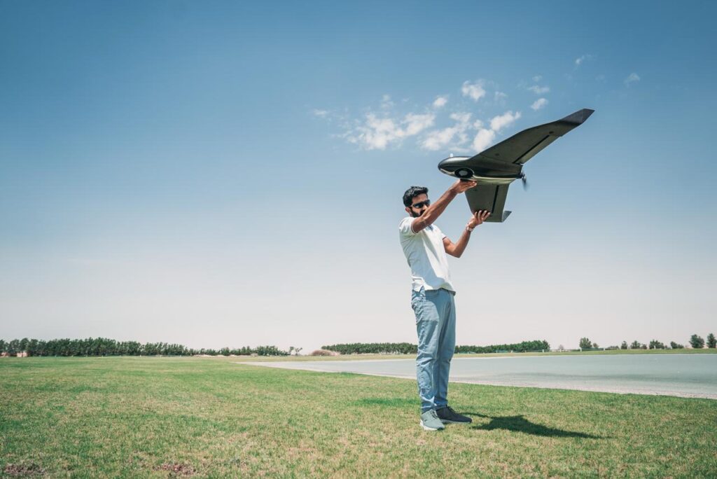
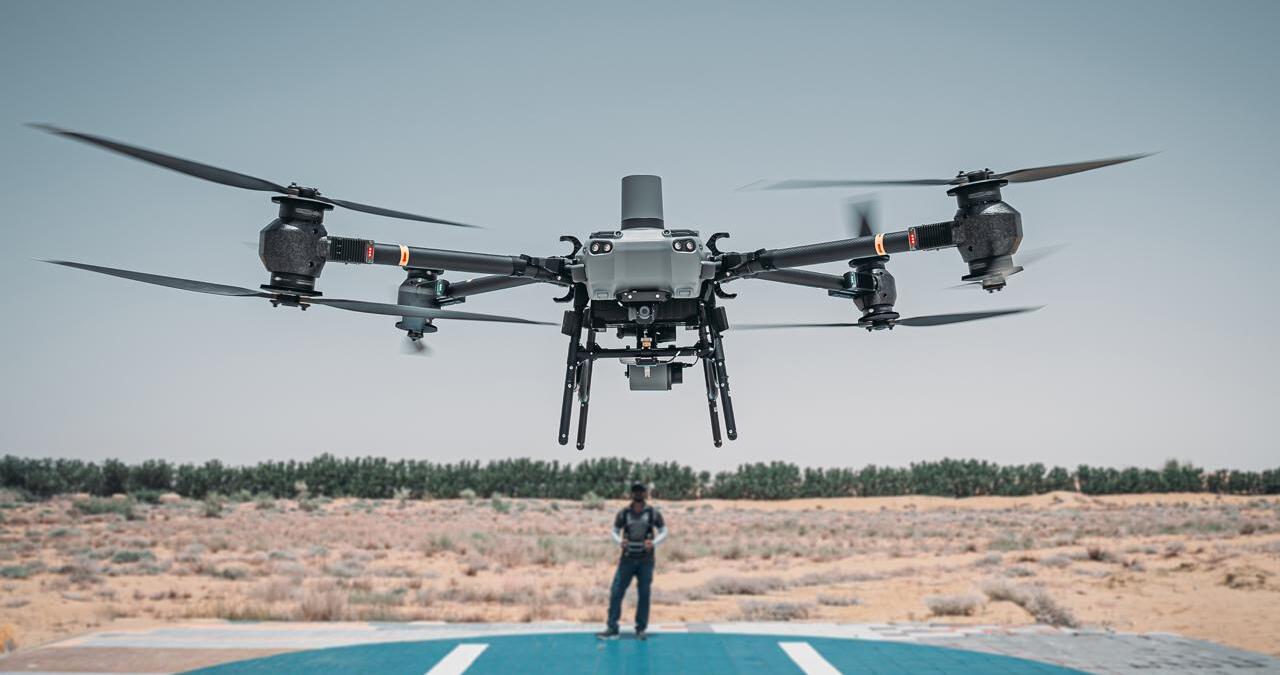
Commercial Drone Certification
Get certified to fly commercially under DCAA regulations.